The following Letter to the Editor was published in Newsday on September 18th, 2022. You can read the original version here.
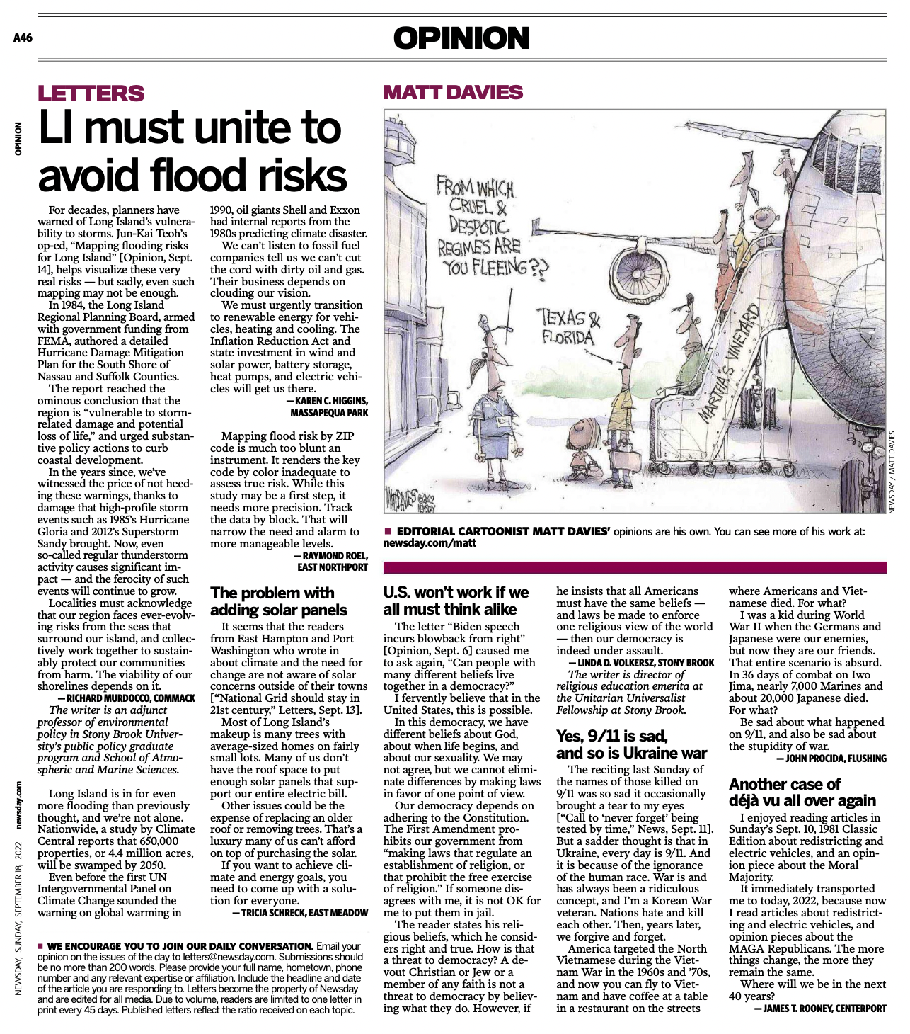
For decades, planners have warned of Long Island’s vulnerability to storms. Jun-Kai Teoh’s op-ed, “Mapping flooding risks for Long Island” [Opinion, Sept. 14], helps visualize these very real risks — but sadly, even such mapping may not be enough.
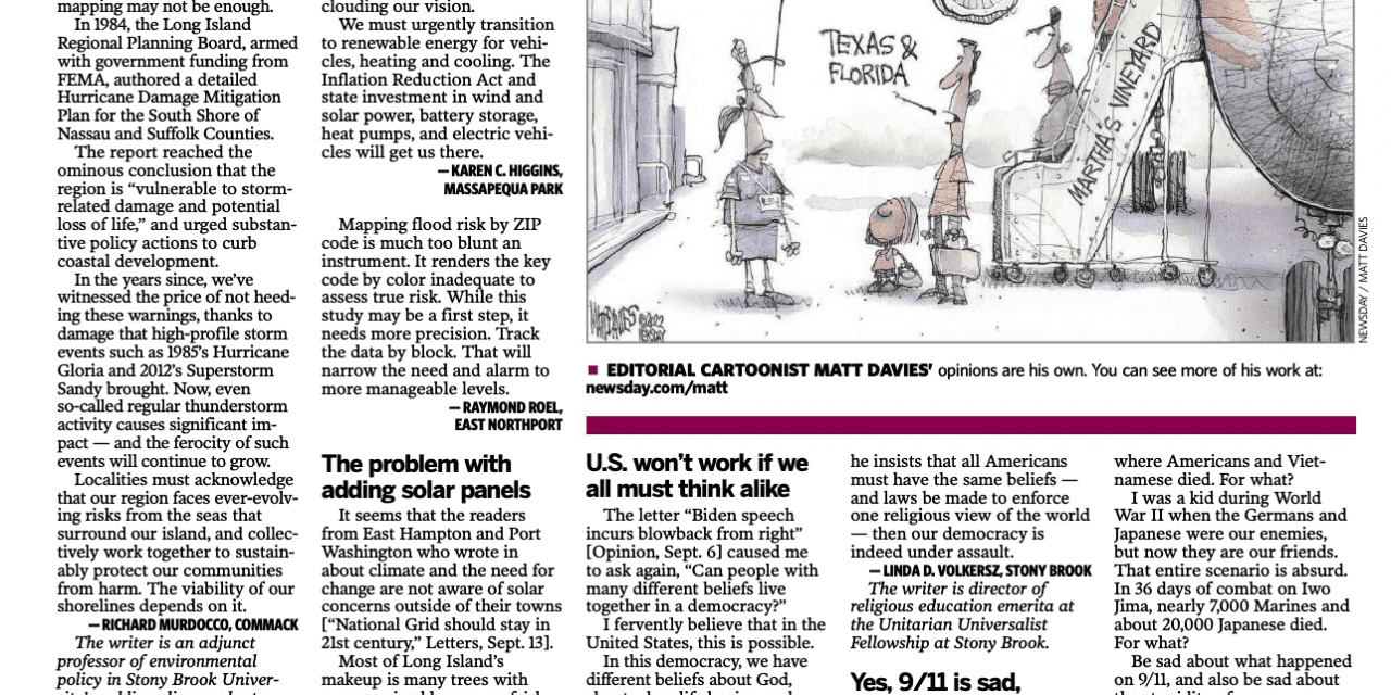
In 1984, the Long Island Regional Planning Board, armed with government funding from FEMA, authored a detailed Hurricane Damage Mitigation Plan for the South Shore of Nassau and Suffolk Counties.
The report reached the ominous conclusion that the region is “vulnerable to storm-related damage and potential loss of life,” and urged substantive policy actions to curb coastal development.
In the years since, we’ve witnessed the price of not heeding these warnings, thanks to damage that high-profile storm events such as 1985’s Hurricane Gloria and 2012’s superstorm Sandy brought. Now, even so-called regular thunderstorm activity causes significant impact — and the ferocity of such events will continue to grow.
Localities must acknowledge that our region faces ever-evolving risks from the seas that surround our island, and collectively work together to sustainably protect our communities from harm. The viability of our shorelines depends on it.
— Richard Murdocco, Commack
The writer is an adjunct professor of environmental policy in Stony Brook University’s public policy graduate program and School of Atmospheric and Marine Sciences.
