Often I write about sound planning principles and how either a municipality or individual is not following standard “Planning 101.” I also write on the need to empower the public with easy to digest, approachable information on land use principles.
This article will be the first in a sporadic series that will teach common land use terms, approaches and standards. The goal is to share planning knowledge that will help you come to your own conclusions regarding land use proposals that you come across in LIBN and other publications. In planning, public input is supposed to be the driving force in land use decision making.
The planning standards and terms come from a variety of sources, but Stony Brook University’s Masters of Arts in Public Policy program should get the most credit. My fiancée Arielle, who still wants to marry despite my inclination to rant about zoning during dinner, told me in during one of my rants this past Sunday that maybe it’s time I write a planning 101 article so more people can understand why I get so riled up about these things.
Think Like a Planner
Once, when looking at the impact of a development within the Carmans River Watershed, Dr. Lee Koppelman got frustrated and told me to “Think like a planner!” and explore the resonating impacts of the proposal beyond the current project specs.
After becoming familiar with these terms, you yourself should “think like a planner” as you read about a proposal. Is the developer being truthful in saying that a project is “mixed-use”? Is the project really “walkable smart growth”? Are environmentalists/NIMBYs justified when they claim that traffic will increase? Is there a community desire for the proposed outcomes? In a recent piece, I wrote that the foxes are watching the hen house, meaning that stakeholders are dominating the development conversation. While well-intentioned (sometimes), most don’t have the foggiest idea what planning standards are. As Arielle said, the best counter is an informed public who can make informed land use decisions. Sound planning indeed.
Understanding Long Island’s Aquifer System
What follows is an introduction to Long Island’s groundwater system. In order to make informed decisions on Long Island’s land use, one has to understand how our groundwater system works.
The first lesson of Planning 101 is:
On Long Island, the carrying capacity of our aquifers determines how much we can build, and where.
Long Island is unique in that we get our drinking water from the ground. We do not pump our lakes, rely on reservoirs, or even pipe our drinking water from upstate New York or Connecticut. Every last drop of our potable water comes from a series of aquifers anywhere from ten to hundreds of feet below ground. Imagine three layers of sand and sediment that was left behind after the glaciers receded thousands of years ago. Each of these layers is separated by a clay “lens.” Each layer, proceeding from the shallowest, to the deepest, is named and has different characteristics. The Upper Glacial, followed by the Magothy and finally the Lloyd Aquifers all make up Long Island’s groundwater system.
Long Island’s aquifers were designated by the Environmental Protection Agency as one of the nation’s first Sole Source Aquifer System in 1978. This designation paved the way for many groundbreaking studies that set the policy precedent for countless other municipalities to follow, as well as set the template of future applications of both environmental science and planning in order to protect drinking water sources.
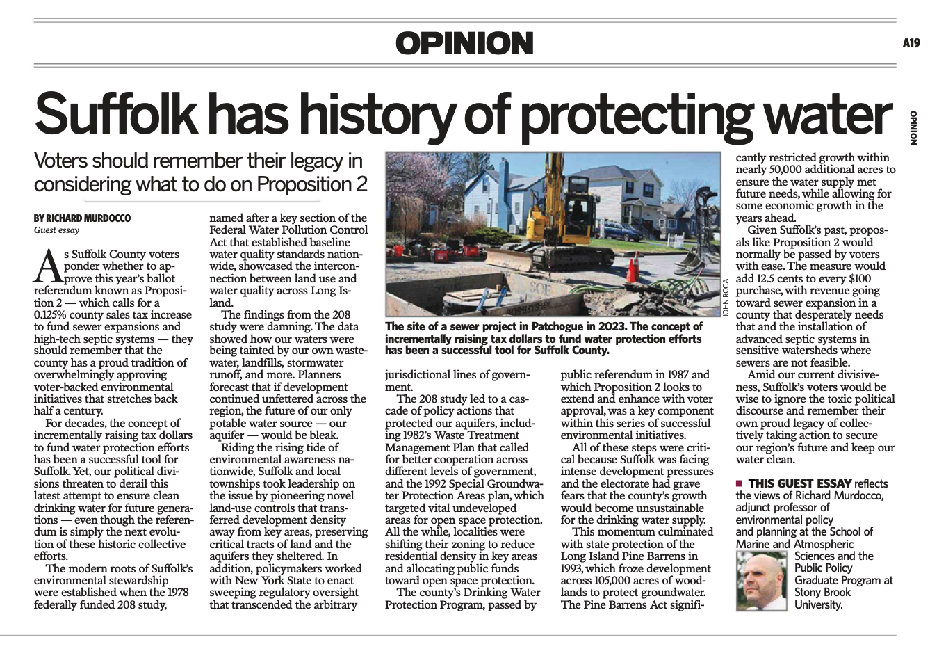
The areas with the highest rates of absorption, or percolation as it’s called, were identified and recommended for protection in the 1978 Long Island Comprehensive Waste Treatment Management Plan (which is referred to in many documents and policies since as the 208 Study). Building on the 208 Study was 1992’s Special Groundwater Protection Area Study by the Long Island Regional Planning Board. The areas identified by both studies are now mostly protected open space throughout Suffolk County, and are critical for groundwater recharge.
When I say that we are pioneers in suburban land use policies, these studies, paired with the innovative Farmland Purchase of Development Rights Program, are the reasons why. When I gripe about stakeholders reinventing the wheel, it is usually because they are ignoring the still relevant (and expensive!) recommendations of these efforts.
The aquifer system is replenished by the rain and snow that falls on Long Island. When the rain falls, rainwater has three places to go. It can run off into the Long Island Sound to the North, the Great South Bay to the South or is absorbed directly into the ground.
Since Long Island’s groundwater comes from the land beneath our feet, what is on top of the land directly affects the quality of the water returning to the aquifers. The water that is absorbed through a park or forest is much cleaner than the water that runs off a parking lot or industrial site and into a drain. On Long Island, the linkage between land use and water quality is what ideally should drive land use decisions. Remember this rule of thumb: The greater the population density, the higher the strain on keeping our aquifers clean.
In Suffolk County, most residential and downtown areas do not have sewers, so the wastewater produced absorbs directly into the aquifer. Out on the East End, pesticides for farming seep into the aquifers. Both contaminate the shallow Upper Glacial aquifer, making it necessary to pump drinking water from the deeper Magothy aquifer.
In most of Nassau County, wastewater is handled by sewers and sewage treatment plants. Often, sewage treatment plants discharge either into the Long Island Sound or the Great South Bay, depending on their location. If a plant is inland, odds are it’s a “package plant” that disperses treated effluent deep into the aquifer. The prevalence of sewers ensures that the shallow aquifers are cleaner, but the amount of water being pumped from the aquifers is significantly higher. In Suffolk County, most groundwater use is regulated by the Suffolk County Water Authority, while quality and land use is monitored by the Suffolk County Department of Planning, and the Department of Health Services. In Nassau, there is less centralized regulation of water resources, and a multitude of water authorities. While both counties share the same aquifer system, the challenges are different. This is due to differences in population density, the presence of sewers and different historic growth patterns.
Between the two counties, there is no singular, formal entity that shapes regional water policy on Long Island.
Richard Murdocco is a digital marketing analyst for Teachers Federal Credit Union, although the views expressed in this post are Murdocco’s alone and not shared by TFCU. Follow him on Twitter @TheFoggiestIdea, or email him at rich.murdocco@gmail.com.
