One county sprang up in the shadows of old money estates and from the soils of the vacant plains, while the other saw a steady march of growth east across the pitch pine forests and rocky coastline.
In the present day, it’s hard to escape the bustle of Long Island’s suburbia, but once, the region was considered New York City’s playground. From the urban radius Robert Moses’ parkways stretched their long fingers out to the wilds of Long Island, all circling and leading to the gem in the New York State Parks system: Jones Beach.
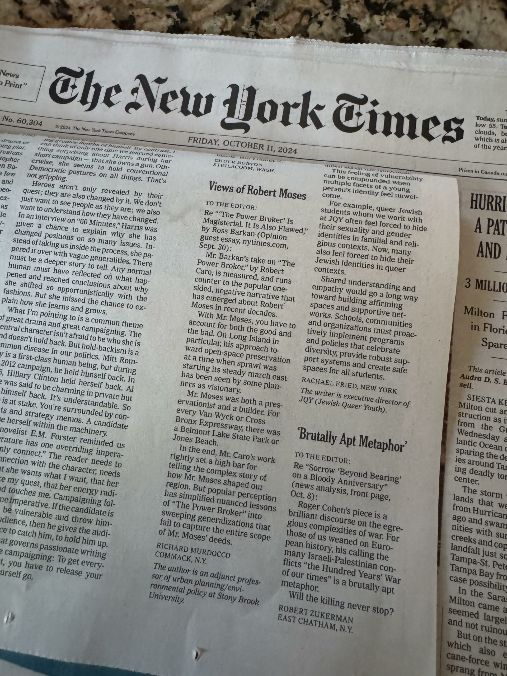
Eventually, Jones Beach saw the rise of its peers, Fire Island (eventually renamed Robert Moses) and Sunken Meadow State Park. For Long Islanders today, having a place to go the beach seems more like a right than a privilege, but to have a world class beach a mere 37 miles from Midtown Manhattan was unheard of in the 1930s, when New Yorkers were forced to endure the hot summer sun in the congested city. In fact, it still is pretty spectacular to have the beaches that we do. The interconnected state park system in the tristate area is, and always will be, Moses’ greatest achievement. The Southern State Parkway may be a nightmare to drive on, but envision the South Shore without it.
The problem now is that Long Island’s layout is pretty much set in stone. It’s this reason, and almost exclusively this reason alone, why regional infrastructure expansions are near-impossible to make. Why can’t we build another north-south highway in Nassau? Simply put, there is too much stuff in the way. This is why the forethought of Moses and the planners of yesteryear is so incredible. Today, the creation of the Long Island Expressway would be impossible. In fact, there was room in Nassau and Suffolk for more roadways, but the state, counties and towns are converting them to walking trails. Take a hike down Trail View State Park in the Old Bethpage or Woodbury areas and you’ll see the distinct right-of-way that cuts through the sprawl for a future highway that was never built. Ever wonder why the interchange between Nesconset Highway and Middle Country Road in Smithtown is so large? Well, plans for an unbuilt cloverleaf are sitting in the New York State Department of Transportation office right now collecting dust.
The expansion of both counties explains their modern form, but the so-called holes in the growth, the vacant, preserved open spaces that dot Long Island’s landscape, tell an even better story – what could’ve been and maybe even should’ve been. Those green gaps on the satellite also are a testament to forethought, a concept that is rapidly losing its meaning here on Long Island.
It seems in recent years, we’re being reactionary with our planning: Let’s stop the “brain drain,” let’s create “smart growth” to offset the dumb growth of the past, etc. Planning, at its very essence, is a precautionary exercise. Instead of simply crafting land-use policies that react to a trend, let’s begin to anticipate them. When Robert Moses pushed for the creation of Valley Stream State Park, he knew that if the area wasn’t preserved, it would one day be more tract houses and strip malls.
There is a lesson to be learned in that example – let’s not just cater to the whims of a select few stakeholders and special interests when it comes to “solving” our issues. Let’s actually plan for Long Island’s future.


